EN 


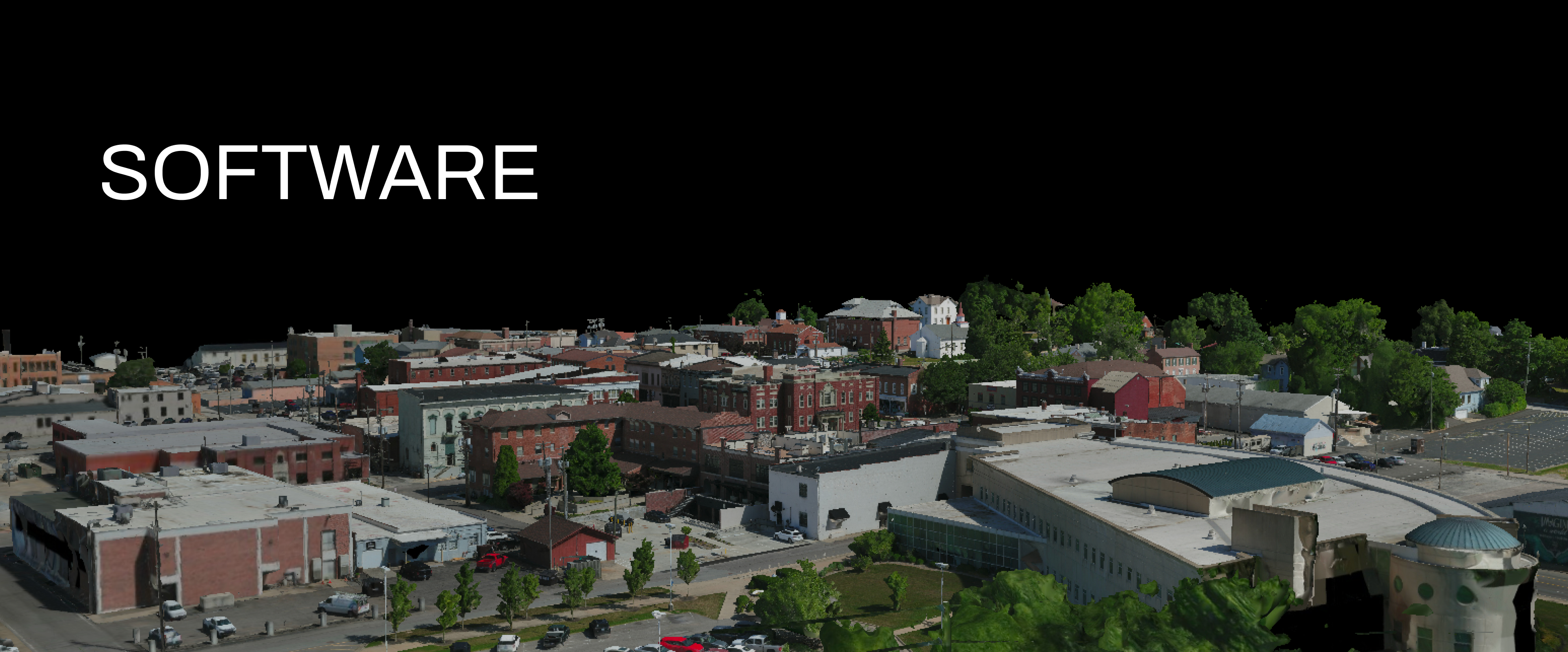
DroMii's services are powered by grateful image generation and Geo software.


Metashape
Photogrammetric processing of digital images and 3D spatial data generation

Correlator3D
Rapid processing of imagery from drones, aircrafts and satellites

Global Mapper
Essential Software for Spatial information

Training & Education
You can meet basic, advanced and specialized courses related to drones

